
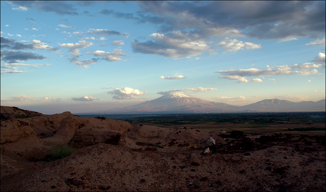

A recently uncovered 2,700-year-old irrigation system near Armavir in Armenia is giving researchers new insight into how ancient rulers transformed dry land into fields, gardens, and vineyards. According to a new study by Nazarij Bu?awka, Krzysztof Jakubiak, and Inessa Karapetyan, published in the journal “Antiquity” by Cambridge University Press, water management helped shape one of the region’s most important ancient cities.
Armavir sits on the edge of the Araks Valley. In ancient times the site stretched for about 3.5 kilometers, making it one of the largest archaeological complexes in Armenia. Though founded in a fertile region, the land required irrigation to become arable, a practice introduced under Urartian rulers between roughly 786 and 590 BC.
During the reign of King Argishti I, who ruled from 786 to 764 BC, the Araks Valley was brought under Urartian control and the fortress of Argishtikhinili was constructed, strategically positioned between two natural elevations, each crowned by a citadel. One served political authority. The other carried religious purpose. According to inscriptions dating from the city’s foundation, five irrigation channels conveyed water to the urban core and the surrounding fields, gardens, and vineyards. One inscription on a stone stele from this period notes that the land had previously lain fallow, a detail that suggests water scarcity inhibited settlement before Urartian rule. Archaeological surveys confirm the absence of earlier habitation.
The new study set out to find traces of that ancient water network. Researchers used modern satellite images, Cold War-era spy satellite photographs, and elevation data to study the land around Argishtikhinili. The team drew on imagery from Landsat 5 and Sentinel-1, and examined archival CORONA and GAMBIT satellite photographs from the 1960s and 1970s. These older images allowed researchers to see the landscape before modern farming and development altered many surface features. The team also analyzed elevation data using a multi-scale relief model to detect small changes in the ground, changes that can reveal buried or eroded canals, levees, and abandoned river channels. Using ArcGIS software, researchers mapped the features with the aim of separating modern irrigation works from older water-management systems.
The results were vast in scale. Researchers mapped 1,019 kilometers of water-management features in the study area. Modern canals accounted for about 429 kilometers. Former mountain streams or old Araks River channels made up about 420 kilometers. Researchers also identified about 36 kilometers of deeply incised ancient channels. Another 134.6 kilometers may represent ancient canals, many of them concentrated near Argishtikhinili. The evidence, researchers said, points to a long, evolving irrigation system. Some parts may date to the Urartian period. Others may have been repaired, reused, or expanded in later centuries.
The history of the irrigation system remains difficult to trace. It likely continued in use until the fall of Urartu around 590 BC. Irrigation appears to have returned during the Hellenistic period, when Armavir grew again. Some canal sections may preserve earlier routes, while others may have been built later. Armavir remained important into the medieval period, which means the system may have changed many times. That long history makes the network hard to date. Ancient canals may lie beneath later ones, some modern canals may follow older paths, and farming has damaged or hidden many surface traces. Still, the study shows that irrigation was central to life in the Ararat Plain. Without engineered water channels, much of the land may not have supported large-scale farming.
Researchers said the canals helped make the area suitable for intensive agriculture, and may also help explain why Argishtikhinili became such an important Urartian center under Argishti I. The study found that most levees align toward the northeast. Some may connect to dry stream beds or larger water systems, while others may have drawn water from branches of the Araks River. Bu?awka and his colleagues said more fieldwork is needed. Future studies could help confirm which canals are Urartian and which belong to later periods, and researchers need more data to link the water system with nearby settlements and to date it precisely.
For now, the findings show how ancient engineering transformed the landscape. The irrigation system did more than move water. It helped build a city, sustain farming, and shape the history of Armenia’s Ararat Plain.
The research was conducted in collaboration with Armenian scholarship. Among the study’s authors is Inessa Karapetyan of the Institute of Archaeology and Ethnography at the National Academy of Sciences of the Republic of Armenia, whose work continues to bring the ancient landscape of the Ararat Plain into clearer view.
Photos: K. Jakubiak / Antiquity (CC BY 4.0)


